
SeaTac Previous-Resident Sources by Era
No one roll spans the full life of a SeaTac address. Modern assessor data identifies the parcel, recorded instruments follow ownership, and directories or census schedules can add occupants. Older material shifts from online systems to archives. Choose the source whose date range matches the question.
| Source | Years it covers | Where held | What it shows |
|---|---|---|---|
| Landmark index | General index 1976-present; parcel search mainly 1997-current | King County Recorder online | Parties, instrument, date, legal description |
| Recorded-document microfilm | 1852/1854-July 31, 1991 | King County Archives | Deeds, liens, plats, easements, mortgages |
| SPL directories | Digital selection 1867-1940; physical 1890-1990 | Seattle Public Library | Name, address, business, street clues |
| Property cards | About 1937-1972 | Puget Sound Regional Archives | Building, owner/tax details, photographs |
| Probate files | 1854-1927 | FamilySearch King County collection | Estates, heirs, residences, property |
| Highline sources | Newspapers from the 1940s-early 1990s; oral-history dates vary | Highline Heritage Museum | People, events, businesses, recollections |
Start with eReal for a current parcel. If the target period is late twentieth century, move through Landmark and physical directories. For an early Highline-era address, expect legal-description work, archived deeds, newspaper volumes, and predecessor community names.
Each source answers a different question. A deed shows a recorded land transaction. A property card describes the parcel and building at an assessment date. A directory suggests who was associated with an address when the volume was compiled. Probate and marriage files can connect relatives, while oral histories supply memories that still need date and source checks. Keeping those roles separate prevents a chain of ownership from being presented as a complete list of previous residents.
Trace SeaTac Owners Through Deeds
The owner trail begins with the current parcel, not with a guessed surname. King County eReal provides the present owner or taxpayer label, site address, parcel number, and legal description. Landmark then lets a searcher follow recorded transfers backward. The legal description is vital when a road name or parcel number changes.
- Find the SeaTac address in King County eReal. Copy the parcel and legal description.
- Open the Landmark recorder index and locate the newest deed by parcel, owner name, or legal description.
- Read the deed's grantor, grantee, recording number, date, and instrument type. The grantor transferred the interest; the grantee received it.
- Search the seller as an earlier grantee. Repeat the link while names, dates, and land description stay consistent.
- When images stop before August 1, 1991, use the index lead and request the document or microfilm from King County Archives.
- Grantor and grantee
- The party giving an interest and the party receiving it.
- Chain of title
- The dated sequence of recorded transfers affecting one piece of land.
- Legal description
- The formal lot, block, plat, or survey description that can survive a street-name change.
- Criss-cross directory
- A directory arranged by street address, useful for finding occupants instead of owners.
A plat or easement can explain lot lines and access without proving that any listed party occupied a home. Likewise, a tax-account name may identify the person responsible for the parcel rather than everyone who lived there.
Instrument type also matters. A statutory warranty deed may mark a sale, while a quitclaim deed can transfer an interest without documenting an ordinary purchase. A trustee or estate transfer may connect a death, trust, or probate event. Mortgages and liens identify parties with a recorded financial interest but do not by themselves change occupancy. Note the type before moving to the next name. If an instrument affects several lots, match the legal description to the SeaTac parcel instead of assuming every listed lot belongs in the chain.
SeaTac Deeds Before Online Images
Landmark's general index reaches to 1976, but most document images begin August 1, 1991. Entries from 1976 through that cutoff may offer names, a recording number, date, and legal description without the image. Parcel searching is mainly useful from 1997 forward, and older parcel indexing is inconsistent. A no-result parcel query is not the end of the chain.
The King County Archives recorded-document guide routes earlier work to grantor-grantee microfilm searched by name and date. Recorded-document microfilm can be used without a research-room appointment. Other collections usually call for an appointment at least 48 hours ahead. Remote consultations and scans are also available.
Send the archivist the parcel, legal description, approximate dates, known parties, and both old and new street names. King County Archives is at 1215 E Fir Street in Seattle, 206-263-2480, archives@kingcounty.gov. Records are not lent, but lobby scanners and personal cameras can support careful note taking.
The recorder also accepts copy orders online, by phone, by mail, and in person. Online uncertified copies can be printed after purchase, while certified copies are mailed within five business days. Phone orders use 206-477-6620 on weekdays from 9 a.m. to 2 p.m. Mail requests go to 201 S Jackson Street, Suite 204, Seattle, with the proper form and payment; in-person service runs on weekdays from 8:30 a.m. to 4:30 p.m. Pre-1991 copies still route to Archives. These channels matter when a digital image is absent or a certified record is needed for an estate file.
Archive research can also branch beyond deeds. Road files, water and sewer records, building plans, Boundary Review Board material, plats, maps, and land-use records may explain when the address itself changed. Record that event beside the household timeline. Otherwise a replat or renamed road can look like an unexplained move.
SeaTac Property Cards Add Context
For roughly 1937 through 1972, Puget Sound Regional Archives property cards can be more revealing than a modern tax page. A card may include a legal description, building type and use, rooms, construction details, assessed value, and at least one photograph. Later images may document changes to the structure.
The King County property and land-use guide explains how those cards fit with building plans, plats, road records, maps, and land-use files.
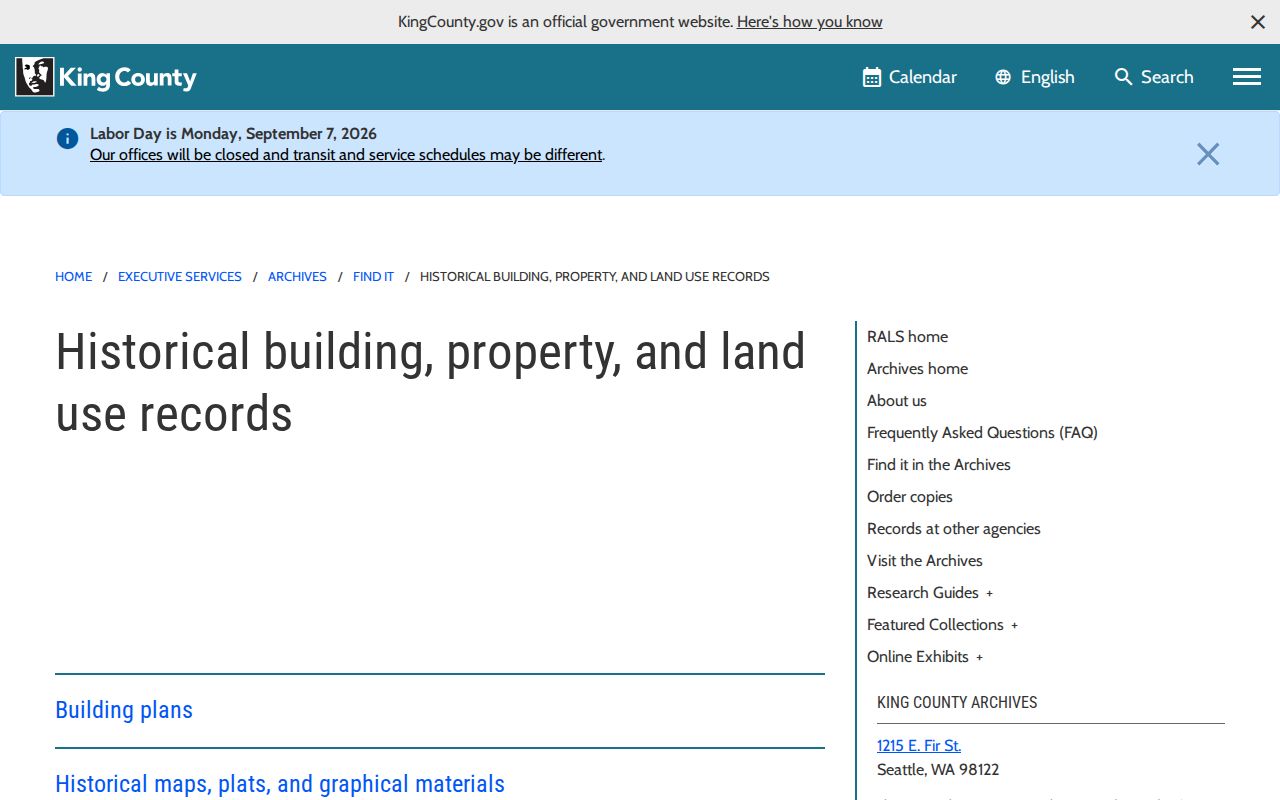
The captured guide shows why a house-history search should follow the structure as well as the surname. A remodel, replat, airport-related change, or new street label may account for a gap that looks like a change of household.
Previous SeaTac Residents Before Incorporation
SeaTac's 1989 incorporation vote and formal establishment in 1990 create a useful search pivot. They do not mark the start of local households. Earlier residents may be indexed under Highline, Angle Lake, Bow Lake, McMicken Heights, Riverton Heights, Sunnydale, a school district, a postal place, or rural King County.
International Boulevard was once Highway 99 within the city. Search both terms. Also keep a township-and-range or plat description when one appears. Airport expansion, platting, annexation, and road work can change the label attached to the same ground. A “same address, different label” timeline should list the directory form, property-card description, deed description, assessor site address, and postal city without forcing them into one modern name.
Note: Search the predecessor community beside SeaTac whenever an address trail crosses the 1989-1990 incorporation pivot.
SeaTac Past Households Beyond Owners
Ownership is only half the answer to who lived here before. The Seattle Public Library directory collection includes regional volumes from 1867 through 1940 and a highlighted 1928 house-and-street reverse directory. Physical Seattle directories extend from 1890 to 1990. Exact SeaTac-only runs were not confirmed, so search the street, surname, and predecessor community rather than assuming annual coverage.
Pair a directory entry with the nearest released federal census, then move forward or back by directory year. Census schedules can show the full household at an enumeration date. An enumeration district is the area assigned to one census taker. The directory may fill years between censuses but is not proof of unbroken residence.
- Copy the exact address and household name from the directory.
- Find the nearest census year and check street, household members, and neighbors.
- Return to the prior and next available directory years to bracket a move.
- Use a deed, probate file, obituary, or newspaper item to explain the change.
The directory collections themselves are described on the SeaTac directory book page. Here they serve one address trail.
SeaTac Addresses Need a Label Timeline
One place can carry several labels across the record trail. A printed directory may use a predecessor road or community name. A property card may rely on a legal description, while a deed names a plat, block, lot, section, township, or range. Current eReal records add a site address and a separate tax mailing address. USPS supplies a postal city and ZIP, and SeaTac planning records may place the parcel in a named station or neighborhood area. None of those labels should silently replace the others.
Build a short address key with one row for each source date. Copy the wording exactly, name the custodian, and note whether the label describes the physical site, tax mail, legal land, or postal delivery. This catches road-name drift and parcel replats without inventing a story. It also keeps the backward search moving when “SeaTac” produces no result before the 1990 incorporation.
Note: A changed label is a new search term, not proof that the structure or household changed.
SeaTac Family Trails in Highline
The Highline Heritage Museum offers a local layer that parcels cannot supply. Its holdings include Highline Times bound volumes from the 1940s into the early 1990s, photographs, school materials, airport and community exhibits, and more than 300 reported oral histories. Research collections are available Friday by appointment.
Visit the Highline Heritage Museum source before viewing the captured museum page.
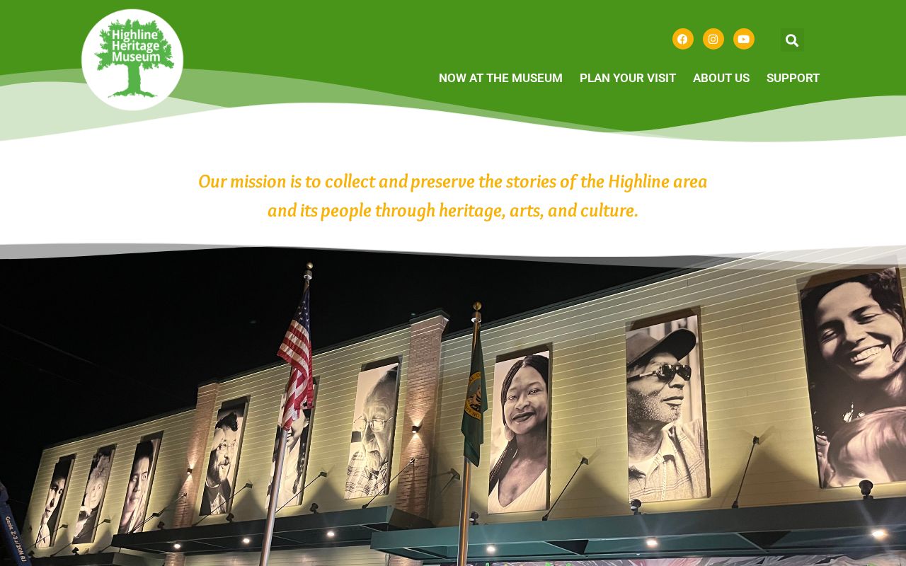
The image points to a practical request: ask for a surname, street, approximate year, and predecessor community. A narrow request is more likely to locate a newspaper item, school collection, photograph, or oral history than a request for everything about one person.
Probate and marriage records can close the trail. FamilySearch's King County probate collection covers 1854-1927, while Washington State Digital Archives indexes King County marriage material from 1855 forward with changing image coverage. Both are leads; certified current records still come from the proper custodian.
Lawful use. Research SeaTac previous residents for family history, estate work, or house history. Never use an old or current address to track, threaten, or harass a living person.
A final research log should name the custodian, collection, record date, access date, exact address label, and whether the item is an index, image, transcript, or original. Add confidence and any unresolved name or parcel alternative. That small discipline is crucial in SeaTac, where city incorporation, recorder digitization, and record-specific privacy rules create different cutoffs. It also gives the next researcher a reproducible path back to the source.